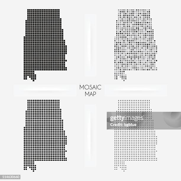
Alabama maps - Mosaic squarred and dotted - stock illustration
Maps of Alabama isolated on white background. Easily customizable for your design.

Get this image in a variety of framing options at Photos.com.
PURCHASE A LICENSE
All Royalty-Free licenses include global use rights, comprehensive protection, simple pricing with volume discounts available
kr 2,500.00
NOK
Getty ImagesAlabama Maps Mosaic Squarred And Dotted High-Res Vector Graphic Download premium, authentic Alabama maps - Mosaic squarred and dotted stock illustrations from Getty Images. Explore similar high-resolution stock illustrations in our expansive visual catalogue.Product #:514630660
 Download premium, authentic Alabama maps - Mosaic squarred and dotted stock illustrations from Getty Images. Explore similar high-resolution stock illustrations in our expansive visual catalogue.Product #:514630660
kr2,500kr300
Getty Images
In stockDETAILS
Credit:
Creative #:
514630660
License type:
Collection:
DigitalVision Vectors
Max file size:
4132 x 4132 px (6.94 x 6.94 in) - 595 dpi - 2 MB
Upload date:
Release info:
No release required
Categories:
- Alabama - US State,
- Map,
- Spotted,
- Abstract,
- Birmingham - Alabama,
- Black And White,
- Cartography,
- Circle,
- Country - Geographic Area,
- Cut Out,
- Design Element,
- Digitally Generated Image,
- District,
- Dotted Line,
- Geographical Border,
- Geometric Shape,
- Gulf Coast States,
- Illustration,
- International Border,
- Montgomery - Alabama,
- Mosaic,
- Physical Geography,
- Pixelated,
- Polka Dot,
- Stipple Effect,
- Symbol,
- US State Border,
- USA,
- Vector,
- White Background,
- White Color,