USA Blue Map with Regions - stock illustration
USA detailed Map with Regions and Capital City

Get this image in a variety of framing options at Photos.com.
PURCHASE A LICENSE
All Royalty-Free licenses include global use rights, comprehensive protection, simple pricing with volume discounts available
kr 2,500.00
NOK
Getty ImagesUsa Blue Map With Regions High-Res Vector Graphic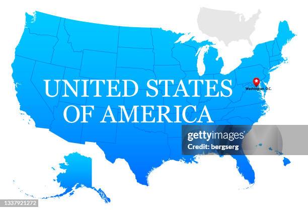 Download premium, authentic USA Blue Map with Regions stock illustrations from Getty Images. Explore similar high-resolution stock illustrations in our expansive visual catalogue.Product #:1337921272
Download premium, authentic USA Blue Map with Regions stock illustrations from Getty Images. Explore similar high-resolution stock illustrations in our expansive visual catalogue.Product #:1337921272kr2,500kr300
Getty Images
In stockDETAILS
Credit:
Creative #:
1337921272
License type:
Collection:
DigitalVision Vectors
Max file size:
2900 x 1975 px (9.67 x 6.58 in) - 300 dpi - 2 MB
Upload date:
Location:
United States
Release info:
Property released
Categories:
- USA,
- Map,
- City,
- Alaska - US State,
- American Flag,
- Backgrounds,
- Blue,
- Business,
- Business Finance and Industry,
- California,
- Cartography,
- Color Image,
- Colorado,
- Continent - Geographic Area,
- Country - Geographic Area,
- Design,
- Florida - US State,
- Geographical Border,
- Hawaii Islands,
- Horizontal,
- Icon Set,
- Icon Symbol,
- Illinois,
- Illustration,
- In Silhouette,
- Infographic,
- Kansas,
- Massachusetts,
- Michigan,
- Navigational Equipment,
- New York State,
- No People,
- North,
- North America,
- Outline,
- Pacific Islands,
- Physical Geography,
- Politics and Government,
- Sign,
- South,
- Symbol,
- Texas,
- Vector,
- Washington DC,
- World Map,
- York - Maine,