MA Bristol Swansea Vector Road Map - stock illustration
MA Bristol Swansea Vector Road Map. All source data is in the public domain. U.S. Census Bureau Census Tiger. Used Layers: areawater, linearwater, roads, rails, cousub, pointlm, uac10.

Get this image in a variety of framing options at Photos.com.
PURCHASE A LICENSE
All Royalty-Free licenses include global use rights, comprehensive protection, simple pricing with volume discounts available
kr 2,500.00
NOK
Getty ImagesMa Bristol Swansea Vector Road Map High-Res Vector Graphic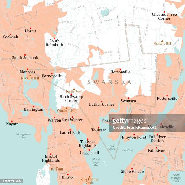 Download premium, authentic MA Bristol Swansea Vector Road Map stock illustrations from Getty Images. Explore similar high-resolution stock illustrations in our expansive visual catalogue.Product #:1305941307
Download premium, authentic MA Bristol Swansea Vector Road Map stock illustrations from Getty Images. Explore similar high-resolution stock illustrations in our expansive visual catalogue.Product #:1305941307kr2,500kr300
Getty Images
In stockDETAILS
Credit:
Creative #:
1305941307
License type:
Collection:
DigitalVision Vectors
Max file size:
4924 x 4924 px (16.41 x 16.41 in) - 300 dpi - 11 MB
Upload date:
Location:
United States
Release info:
No release required
Categories:
- Map,
- Massachusetts,
- Swansea,
- Coastline,
- Town,
- Bay of Water,
- Bristol County - Massachusetts,
- Cartography,
- City,
- City Map,
- Color Image,
- Computer Graphic,
- Design,
- Digital Composite,
- Digitally Generated Image,
- District,
- Fall River - Massachusetts,
- Geographical Border,
- Harbor,
- Hortonville,
- Illustration,
- Lake,
- Lee River,
- Narragansett Bay,
- No People,
- Ocean Grove,
- Physical Geography,
- River,
- Road Map,
- Square - Composition,
- Street,
- Text,
- USA,
- Vector,
- Water,