Canada provinces and territories map - stock illustration
Illustration of Canada with various Canadian flags and labels included. Provinces and territories are on their own labeled layer. Global colours

Get this image in a variety of framing options at Photos.com.
PURCHASE A LICENSE
All Royalty-Free licenses include global use rights, comprehensive protection, simple pricing with volume discounts available
kr 2,500.00
NOK
Getty ImagesCanada Provinces And Territories Map High-Res Vector Graphic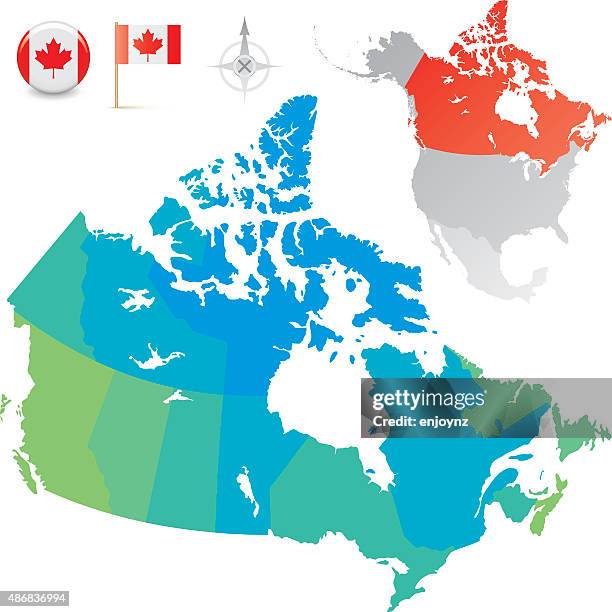 Download premium, authentic Canada provinces and territories map stock illustrations from Getty Images. Explore similar high-resolution stock illustrations in our expansive visual catalogue.Product #:486836994
Download premium, authentic Canada provinces and territories map stock illustrations from Getty Images. Explore similar high-resolution stock illustrations in our expansive visual catalogue.Product #:486836994kr2,500kr300
Getty Images
In stockDETAILS
Credit:
Creative #:
486836994
License type:
Collection:
DigitalVision Vectors
Max file size:
4126 x 4126 px (13.75 x 13.75 in) - 300 dpi - 2 MB
Upload date:
Release info:
Model and property released
Categories:
- Canada,
- Map,
- Outline,
- Saskatchewan,
- Vector,
- 2015,
- Alberta,
- British Columbia,
- Canadian Flag,
- Cartography,
- Color Image,
- Colors,
- Country - Geographic Area,
- Digitally Generated Image,
- Flag,
- Geographical Locations,
- Illustration,
- Infographic,
- Manitoba,
- Maple Leaf,
- Mexico,
- New Brunswick - Canada,
- Newfoundland and Labrador,
- No People,
- North America,
- Northwest Territories,
- Nova Scotia,
- Nunavut,
- Ontario - Canada,
- Prince Edward Island,
- Quebec,
- USA,
- Yukon,