Canada, provinces and territories - stock illustration
"Detailed map of Canada with all the provinces and territories, separated and north oriented. Objects are on six layers and global colors are used for easy editing."

Get this image in a variety of framing options at Photos.com.
PURCHASE A LICENSE
All Royalty-Free licenses include global use rights, comprehensive protection, simple pricing with volume discounts available
kr 2,500.00
NOK
Getty ImagesCanada Provinces And Territories High-Res Vector Graphic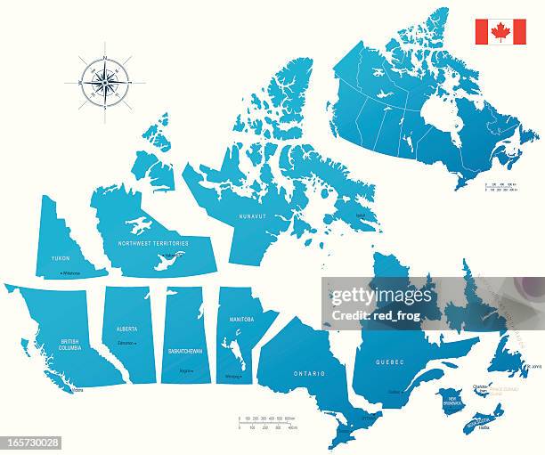 Download premium, authentic Canada, provinces and territories stock illustrations from Getty Images. Explore similar high-resolution stock illustrations in our expansive visual catalogue.Product #:165730028
Download premium, authentic Canada, provinces and territories stock illustrations from Getty Images. Explore similar high-resolution stock illustrations in our expansive visual catalogue.Product #:165730028kr2,500kr300
Getty Images
In stockDETAILS
Credit:
Creative #:
165730028
License type:
Collection:
DigitalVision Vectors
Max file size:
4475 x 3733 px (17.02 x 14.19 in) - 263 dpi - 4 MB
Upload date:
Release info:
No release required
Categories: