Denver, Colorado Vector Map - stock illustration
Poster Style Topographic / Road map of Denver, CO, USA United States of America. OpenStreetMap contributors. All maps made by me are layered and easy to edit.

Get this image in a variety of framing options at Photos.com.
PURCHASE A LICENSE
All Royalty-Free licenses include global use rights, comprehensive protection, simple pricing with volume discounts available
kr 2,500.00
NOK
Getty ImagesDenver Colorado Vector Map High-Res Vector Graphic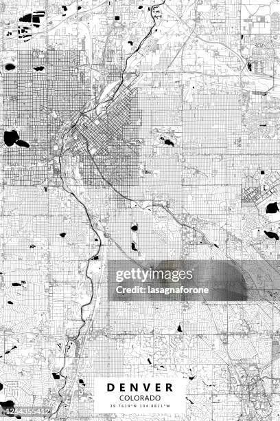 Download premium, authentic Denver, Colorado Vector Map stock illustrations from Getty Images. Explore similar high-resolution stock illustrations in our expansive visual catalogue.Product #:1264355412
Download premium, authentic Denver, Colorado Vector Map stock illustrations from Getty Images. Explore similar high-resolution stock illustrations in our expansive visual catalogue.Product #:1264355412kr2,500kr300
Getty Images
In stockDETAILS
Credit:
Creative #:
1264355412
License type:
Collection:
DigitalVision Vectors
Max file size:
3000 x 4500 px (10.00 x 15.00 in) - 300 dpi - 25 MB
Upload date:
Location:
United States
Release info:
No release required
Categories:
- Denver,
- City Map,
- Denver International Airport,
- Map,
- Abstract,
- Aerial View,
- Airport,
- Architecture,
- Black And White,
- Cartography,
- City,
- City Life,
- City Street,
- Cityscape,
- Colorado,
- Colorado State Capitol,
- Denver City and County Building,
- Denver Performing Arts Complex,
- Design,
- Diagram,
- Downtown District,
- Illustration,
- Modern,
- No People,
- North America,
- Outline,
- Performing Arts Center,
- Poster,
- Red Rocks Amphitheater,
- Road,
- Rocky Mountain National Park,
- Rocky Mountains - North America,
- Single Line,
- Street,
- Tourism,
- Travel,
- Travel Destinations,
- USA,
- University of Denver,
- Urban Road,
- Vacations,
- Vector,
- Vertical,
- Water,
- Western USA,