Houston, Texas Vector Map - stock illustration
Topographic / Road map of Houston, TX. Original map data is public domain sourced from www.census.gov/

Get this image in a variety of framing options at Photos.com.
PURCHASE A LICENSE
All Royalty-Free licenses include global use rights, comprehensive protection, simple pricing with volume discounts available
kr 2,500.00
NOK
Getty ImagesHouston Texas Vector Map High-Res Vector Graphic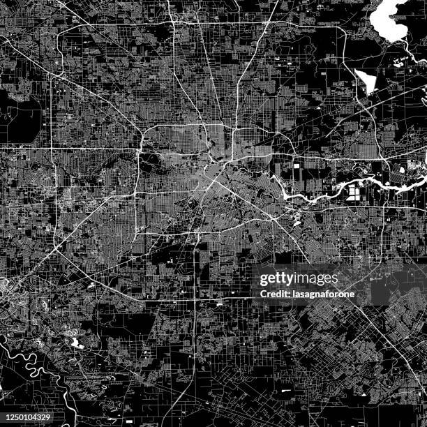 Download premium, authentic Houston, Texas Vector Map stock illustrations from Getty Images. Explore similar high-resolution stock illustrations in our expansive visual catalogue.Product #:1250104329
Download premium, authentic Houston, Texas Vector Map stock illustrations from Getty Images. Explore similar high-resolution stock illustrations in our expansive visual catalogue.Product #:1250104329kr2,500kr300
Getty Images
In stockDETAILS
Credit:
Creative #:
1250104329
License type:
Collection:
DigitalVision Vectors
Max file size:
4000 x 4000 px (13.33 x 13.33 in) - 300 dpi - 33 MB
Upload date:
Location:
United States
Release info:
No release required
Categories:
- Map,
- Houston - Texas,
- City Map,
- Texas,
- Vector,
- City,
- Black Color,
- Highway,
- Abstract,
- Aerial View,
- Modern,
- Simplicity,
- Space Center,
- White Color,
- Architecture,
- Banner - Sign,
- Black And White,
- Cartography,
- City Life,
- City Street,
- Cityscape,
- Design,
- Downtown District,
- Geographical Border,
- Greater Houston,
- Gulf Coast States,
- Houston Astrodome,
- Houston Zoo,
- Illustration,
- Ink,
- Line Art,
- NASA Kennedy Space Center,
- No People,
- North America,
- Outline,
- River,
- Road,
- Single Line,
- Square - Composition,
- Street,
- Tourism,
- Travel,
- Travel Destinations,
- Vacations,
- Water,