Map of Northeast United States, published in 1882 - stock illustration
Map of the Northeast United States of America. Wood engraving, published in 1882.

Get this image in a variety of framing options at Photos.com.
PURCHASE A LICENSE
All Royalty-Free licenses include global use rights, comprehensive protection, simple pricing with volume discounts available
kr 2,500.00
NOK
Getty ImagesMap Of Northeast United States Published In 1882 High-Res Vector Graphic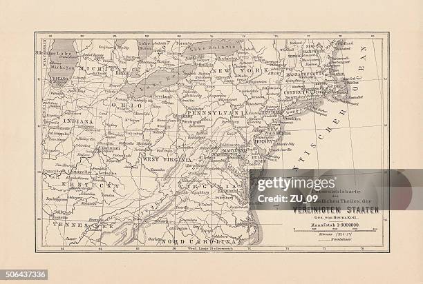 Download premium, authentic Map of Northeast United States, published in 1882 stock illustrations from Getty Images. Explore similar high-resolution stock illustrations in our expansive visual catalogue.Product #:506437336
Download premium, authentic Map of Northeast United States, published in 1882 stock illustrations from Getty Images. Explore similar high-resolution stock illustrations in our expansive visual catalogue.Product #:506437336kr2,500kr300
Getty Images
In stockDETAILS
Credit:
Creative #:
506437336
License type:
Collection:
DigitalVision Vectors
Max file size:
8614 x 5803 px (28.71 x 19.34 in) - 300 dpi - 34 MB
Upload date:
Release info:
Model and property released
Categories:
- Map,
- Old-fashioned,
- Pennsylvania,
- Old,
- Washington DC,
- New York City,
- Antique,
- New York State,
- Virginia - US State,
- North Carolina - US State,
- USA,
- Maryland - US State,
- New Jersey,
- East,
- Kentucky,
- Maine,
- Tennessee,
- Woodcut,
- Ancient,
- Cartography,
- Connecticut,
- Engraved Image,
- Etching,
- Horizontal,
- Illustration,
- Indiana,
- Massachusetts,
- Michigan,
- New Hampshire,
- No People,
- North,
- North America,
- Ohio,
- The Americas,
- Vermont,
- West Virginia - US State,