New Hampshire Map - stock illustration
A detailed map of New Hampshire state with cities, roads, major rivers, and lakes. Includes neighboring states and surrounding water.

Get this image in a variety of framing options at Photos.com.
PURCHASE A LICENSE
All Royalty-Free licenses include global use rights, comprehensive protection, simple pricing with volume discounts available
kr 2,500.00
NOK
Getty ImagesNew Hampshire Map High-Res Vector Graphic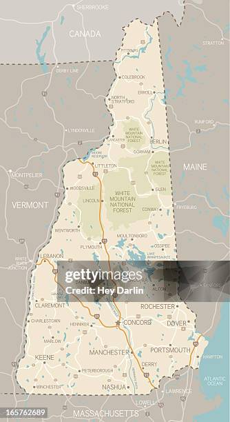 Download premium, authentic New Hampshire Map stock illustrations from Getty Images. Explore similar high-resolution stock illustrations in our expansive visual catalogue.Product #:165762689
Download premium, authentic New Hampshire Map stock illustrations from Getty Images. Explore similar high-resolution stock illustrations in our expansive visual catalogue.Product #:165762689kr2,500kr300
Getty Images
In stockDETAILS
Credit:
Creative #:
165762689
License type:
Collection:
DigitalVision Vectors
Max file size:
3348 x 6149 px (11.16 x 20.50 in) - 300 dpi - 5 MB
Upload date:
Release info:
No release required
Categories: