San Antonio, Texas Vector Map - stock illustration
Topographic / Road map of San Antonio, TX, USA. Original map data is public domain sourced from www.census.gov/

Get this image in a variety of framing options at Photos.com.
PURCHASE A LICENSE
All Royalty-Free licenses include global use rights, comprehensive protection, simple pricing with volume discounts available
kr 2,500.00
NOK
Getty ImagesSan Antonio Texas Vector Map High-Res Vector Graphic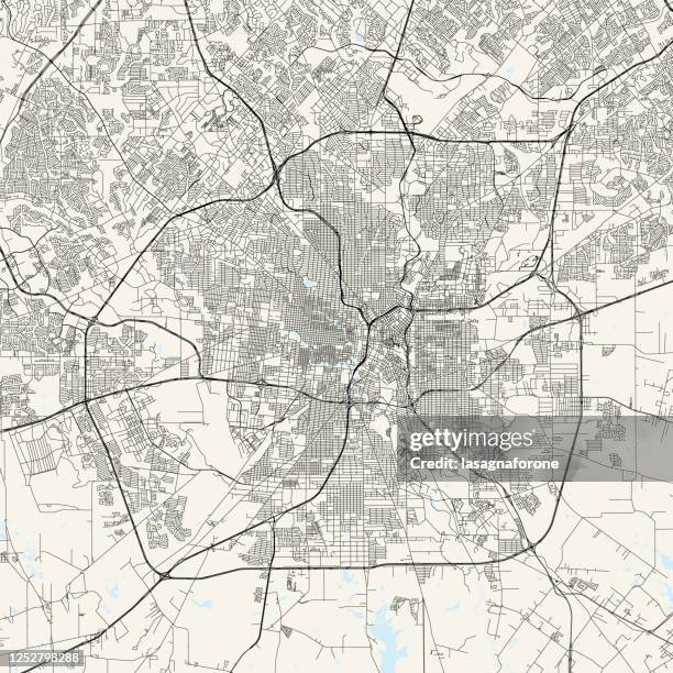 Download premium, authentic San Antonio, Texas Vector Map stock illustrations from Getty Images. Explore similar high-resolution stock illustrations in our expansive visual catalogue.Product #:1252798288
Download premium, authentic San Antonio, Texas Vector Map stock illustrations from Getty Images. Explore similar high-resolution stock illustrations in our expansive visual catalogue.Product #:1252798288kr2,500kr300
Getty Images
In stockDETAILS
Credit:
Creative #:
1252798288
License type:
Collection:
DigitalVision Vectors
Max file size:
4000 x 4000 px (13.33 x 13.33 in) - 300 dpi - 14 MB
Upload date:
Location:
United States
Release info:
No release required
Categories:
- San Antonio - Texas,
- Map,
- Texas,
- Aerial View,
- City Map,
- Vector,
- Design,
- Wild West,
- Alamo - San Antonio,
- San Antonio River Walk,
- AT&T Center,
- Abstract,
- Architecture,
- Black And White,
- Blueprint,
- Cartography,
- City,
- City Street,
- District,
- Downtown District,
- Famous Place,
- Geographical Border,
- Illustration,
- Journey,
- Land,
- National Landmark,
- No People,
- Outline,
- Physical Geography,
- Projection Mapping,
- River,
- Road,
- Road Intersection,
- San Antonio Missions National Historical Park,
- San Antonio River,
- San Antonio Zoo and Aquarium,
- Square - Composition,
- Street,
- Tourism,
- Tower Of The Americas,
- Travel,
- Travel Destinations,
- UNESCO World Heritage Site,
- Vacations,
- Water,
- Western USA,
- World Map,