Texas County Map - stock illustration
"Highly-detailed Texas county map. Each county is in a separate labeled layer. All layers have been alphabetized for easy manipulation, recoloring or other use. (see image below -- note: labels only available in AICS2 and AI10 files)"

Get this image in a variety of framing options at Photos.com.
PURCHASE A LICENSE
All Royalty-Free licenses include global use rights, comprehensive protection, simple pricing with volume discounts available
kr 2,500.00
NOK
Getty ImagesTexas County Map High-Res Vector Graphic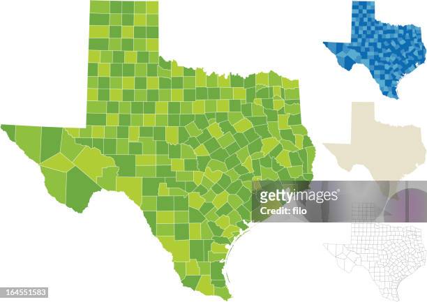 Download premium, authentic Texas County Map stock illustrations from Getty Images. Explore similar high-resolution stock illustrations in our expansive visual catalogue.Product #:164551583
Download premium, authentic Texas County Map stock illustrations from Getty Images. Explore similar high-resolution stock illustrations in our expansive visual catalogue.Product #:164551583kr2,500kr300
Getty Images
In stockDETAILS
Credit:
Creative #:
164551583
License type:
Collection:
DigitalVision Vectors
Max file size:
4852 x 3430 px (10.81 x 7.64 in) - 449 dpi - 4 MB
Upload date:
Release info:
No release required
Categories: