World Map Geography Deatiled Vector Illustration - stock illustration
World Map Geography Deatiled Vector Illustration.

Get this image in a variety of framing options at Photos.com.
PURCHASE A LICENSE
All Royalty-Free licenses include global use rights, comprehensive protection, simple pricing with volume discounts available
kr 2,500.00
NOK
Getty ImagesWorld Map Geography Deatiled Vector Illustration High-Res Vector Graphic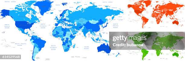 Download premium, authentic World Map Geography Deatiled Vector Illustration stock illustrations from Getty Images. Explore similar high-resolution stock illustrations in our expansive visual catalogue.Product #:614529568
Download premium, authentic World Map Geography Deatiled Vector Illustration stock illustrations from Getty Images. Explore similar high-resolution stock illustrations in our expansive visual catalogue.Product #:614529568kr2,500kr300
Getty Images
In stockDETAILS
Credit:
Creative #:
614529568
License type:
Collection:
DigitalVision Vectors
Max file size:
7233 x 2383 px (67.60 x 22.27 in) - 107 dpi - 31 MB
Upload date:
Release info:
No release required
Categories:
- West Asia,
- Map,
- World Map,
- UK,
- Cross Section,
- Australia,
- Asia,
- Island,
- Pacific Ocean,
- Africa,
- Atlantic Ocean,
- Bahamas,
- Brazil,
- Canada,
- Capital Cities,
- Caribbean,
- Caribbean Sea,
- Cartography,
- China - East Asia,
- City,
- Egypt,
- Germany,
- Globe - Navigational Equipment,
- Greenland,
- Group Of Objects,
- Horizontal,
- Illustration,
- Indian Ocean,
- Indonesia,
- Labor Union,
- Madagascar,
- New Zealand,
- North America,
- Panoramic,
- Part Of,
- Philippine Sea,
- Physical Geography,
- Plan - Document,
- Planet - Space,
- Politics,
- Politics and Government,
- Russia,
- Sea,
- South Africa,
- South America,
- Sphere,
- The Americas,
- Topography,
- Town,
- Vector,