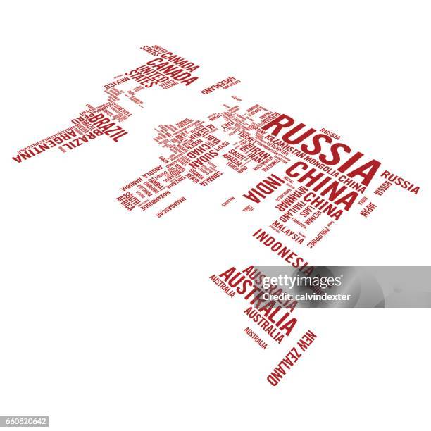
World map illustrated with countries names in perspective - stock illustration
Vector illustration of a world map illustrated with all the countries names and with a perspective three dimensional text effect.

Get this image in a variety of framing options at Photos.com.
PURCHASE A LICENSE
All Royalty-Free licenses include global use rights, comprehensive protection, simple pricing with volume discounts available
kr 2,500.00
NOK
Getty ImagesWorld Map Illustrated With Countries Names In Perspective High-Res Vector Graphic Download premium, authentic World map illustrated with countries names in perspective stock illustrations from Getty Images. Explore similar high-resolution stock illustrations in our expansive visual catalogue.Product #:660820642
 Download premium, authentic World map illustrated with countries names in perspective stock illustrations from Getty Images. Explore similar high-resolution stock illustrations in our expansive visual catalogue.Product #:660820642
kr2,500kr300
Getty Images
In stockDETAILS
Credit:
Creative #:
660820642
License type:
Collection:
DigitalVision Vectors
Max file size:
4127 x 4127 px (13.76 x 13.76 in) - 300 dpi - 3 MB
Upload date:
Location:
Spain
Release info:
No release required
Categories:
- Africa,
- Asia,
- Australia,
- Black And White,
- Business,
- Business Finance and Industry,
- Canada,
- Cartography,
- Communication,
- Country - Geographic Area,
- Cut Out,
- Design Element,
- Diminishing Perspective,
- Education,
- Europe,
- Flat Design,
- Geographical Border,
- Global Communications,
- History,
- Identity,
- Illustration,
- Infographic,
- International Border,
- Isolated Color,
- Japan,
- North America,
- Point of View,
- Russia,
- Simplicity,
- South America,
- Spain,
- Square - Composition,
- Text,
- Three Dimensional,
- Topography,
- Transportation,
- Vector,
- West Asia,
- Wisdom,
- World Map,