North America Topographic Map 3D Render Color - stock photo
3D Render of a Topographic Map of North America.
All source data is in the public domain.
Color texture: Made with Natural Earth.
http://www.naturalearthdata.com/downloads/10m-raster-data/10m-cross-blend-hypso/
Relief texture: GMTED 2010 data courtesy of USGS. URL of source image:
https://topotools.cr.usgs.gov/gmted_viewer/viewer.htm
Water texture: Made with Natural Earth.
https://www.naturalearthdata.com/downloads/10m-physical-vectors/

Get this image in a variety of framing options at Photos.com.
PURCHASE A LICENSE
All Royalty-Free licenses include global use rights, comprehensive protection, simple pricing with volume discounts available
kr 2,500.00
NOK
Getty ImagesNorth America Topographic Map 3d Render Color High-Res Stock Photo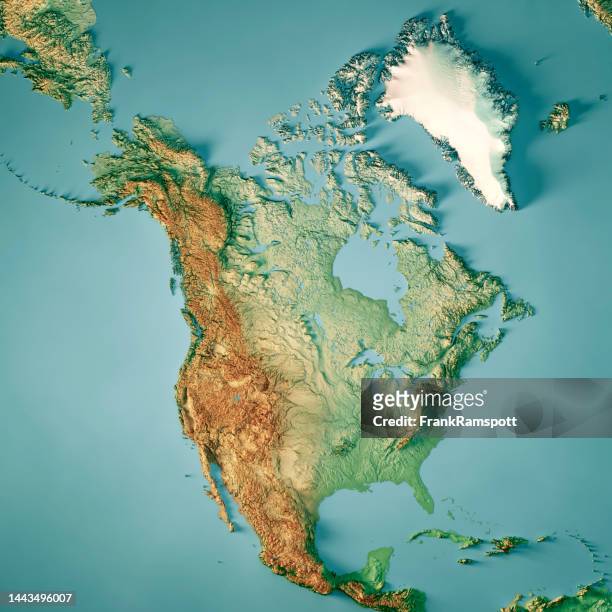 Download premium, authentic North America Topographic Map 3D Render Color stock photos from Getty Images. Explore similar high-resolution stock photos in our expansive visual catalogue.Product #:1443496007
Download premium, authentic North America Topographic Map 3D Render Color stock photos from Getty Images. Explore similar high-resolution stock photos in our expansive visual catalogue.Product #:1443496007kr2,500kr300
Getty Images
In stockDETAILS
Credit:
Creative #:
1443496007
License type:
Collection:
E+
Max file size:
5800 x 5800 px (19.33 x 19.33 in) - 300 dpi - 21 MB
Upload date:
Location:
Canada
Release info:
Property released
Categories:
- Map,
- North America,
- Topographic Map,
- Canada,
- Topography,
- Three Dimensional,
- Satellite View,
- Continent - Geographic Area,
- Alaska - US State,
- Cartography,
- Physical Geography,
- Aerial View,
- Island,
- Caribbean Sea,
- Gulf of Mexico,
- Physical Map,
- Atlantic Ocean,
- Color Image,
- Computer Graphic,
- Design,
- Digital Composite,
- Digitally Generated Image,
- Directly Above,
- Illustration,
- Landscape - Scenery,
- No People,
- Outdoors,
- Pacific Ocean,
- Rocky Mountains - North America,
- Square - Composition,