USA Topographic Map - stock photo
3D rendering and image composing: Topographic Map of the United States of America. Including country borders, rivers and accurate longitude/latitude lines. High resolution available! High quality relief structure!

Get this image in a variety of framing options at Photos.com.
PURCHASE A LICENSE
All Royalty-Free licenses include global use rights, comprehensive protection, simple pricing with volume discounts available
kr 2,500.00
NOK
Getty ImagesUsa Topographic Map High-Res Stock Photo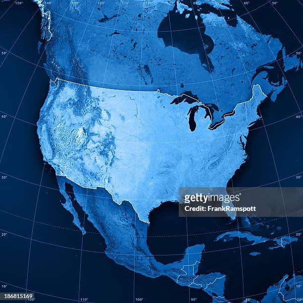 Download premium, authentic USA Topographic Map stock photos from Getty Images. Explore similar high-resolution stock photos in our expansive visual catalogue.Product #:186815169
Download premium, authentic USA Topographic Map stock photos from Getty Images. Explore similar high-resolution stock photos in our expansive visual catalogue.Product #:186815169kr2,500kr300
Getty Images
In stockDETAILS
Credit:
Creative #:
186815169
License type:
Collection:
E+
Max file size:
7071 x 7071 px (23.57 x 23.57 in) - 300 dpi - 26 MB
Upload date:
Release info:
No release required
Categories:
- Map,
- USA,
- North America,
- Topographic Map,
- Satellite View,
- Blue,
- Three Dimensional,
- Topography,
- Digitally Generated Image,
- Gulf of Mexico,
- Physical Geography,
- Illustration,
- Geology,
- Great Lakes,
- Square - Composition,
- Atlantic Ocean,
- Appalachian Mountains,
- Latitude,
- Longitude,
- Pacific Ocean,
- Appalachia,
- Color Image,
- Country Map,
- Digital Composite,
- Nature,
- No People,
- Rocky Mountains - North America,
- Shape,
- View Into Land,