old engraved map of a part of the map published in paris by thevenot as “marquette’s map” - new york connecticut map stock pictures, royalty-free photos & imagesOld engraved map of a Part of the Map Published in Paris by Thevenot as “Marquette’s Map”
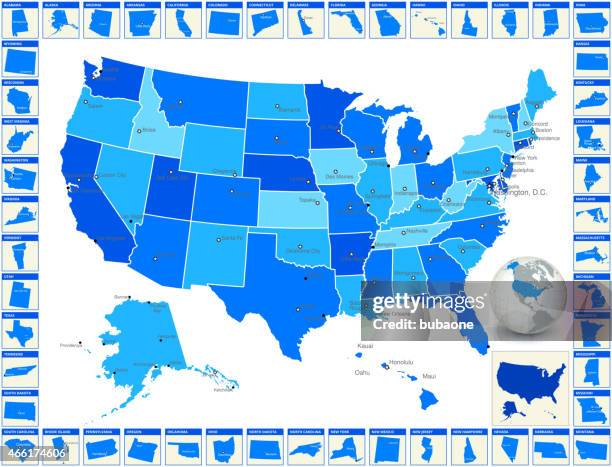
detailed royalty free vector us state map with cities - new york connecticut map stock illustrationsDetailed royalty free vector US State Map with Cities
We ranked America's 10 fastest growing housing markets, based on the growth of their housing stock from 2013 to 2022. Data source: StorageCafe, U.S....Mapped: The Fastest Growing Housing Markets in the U.S.
old engraved map of new amsterdam, now new york, usa at the time of the revolution - new york connecticut map stock pictures, royalty-free photos & imagesOld engraved map of New Amsterdam, now New York, USA at the time of the Revolution
illustration of states on east coast of the usa - new york connecticut map stock illustrationsIllustration of states on East Coast of the USA
new england states map 1867 - new york connecticut map stock illustrationsNew England states map 1867
united states north east map 1897 - new york connecticut map stock illustrationsUnited States North East map 1897
Recorded the highest annual average infant center-based child care costs in 2023. Which other states had the highest costs? Data Source: Child Care...Mapped: Infant Child-Care Costs by U.S. State
The average annual per capita ethanol consumption from wine in the U.S. Is 0.42 gallons, which is equivalent to about 16.4 bottles of wine. Data...Mapped: America's Wine Consumption By State
This visualization illustrates the income needed for an individual to maintain a comfortable lifestyle in each state. Data source: SmartAsset.Mapped: The Income Needed to Live Comfortably in Every U.S. State
Maxwell Court, Rockville, Connecticut, between 1915 and 1925. Photograph of a plan of Frank T. Marsh house and garden in the Monograph of the Work of...Maxwell Court
ny cayuga venice vector road map - new york connecticut map stock illustrationsNY Cayuga Venice Vector Road Map
map of the eastern united states of america, 19th century - new york connecticut map stock illustrationsMap of the Eastern United States of America, 19th Century
north eastern states usa map - new york connecticut map stock illustrationsNorth Eastern States USA map
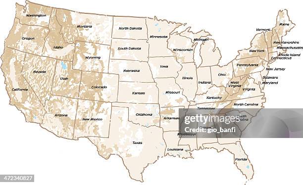
united states state map with capitals and cities - new york connecticut map stock illustrationsUnited States state map with capitals and cities
map of middle states usa 1883 - new york connecticut map stock illustrationsMap of Middle states USA 1883
north eastern states usa map 1881 - new york connecticut map stock illustrationsNorth Eastern States USA map 1881
Gen. Lucius Clay points to Berlin on map at Idlewild Airport, shortly before he, Gov. Luther Youndahl of Minnesota, and James Turrentine, of...Lucius Clay Pointing to Berlin
New York Attorney General Eliot Spitzer gestures towards a map as he speaks at a press conference announcing an eight state lawsuit against the five...Multiple States File Lawsuit On Global Warming