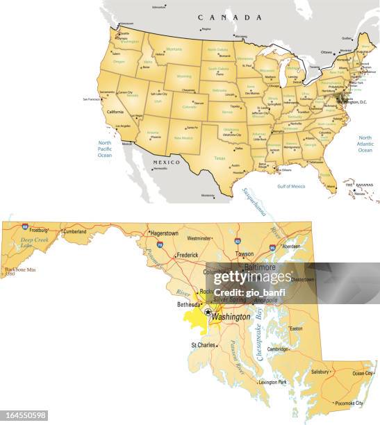
washington dc area vector map - washington dc baltimore map stock illustrationsWashington DC Area Vector Map
Washington, D.C., may be located in relation to many natural and political features on this map. It is on the Potomac River, east of the...Washington, D.C., may be located in relation to many natural and political features on this map. It is on the Potomac River, east of the Appalachians, and southwest of Baltimore and Philadelphia.
southern middle atlantic states of the united states of america antique victorian engraved colored map, 1899 - washington dc baltimore map stock illustrationsSouthern Middle Atlantic States of the United States of America Antique Victorian Engraved Colored Map, 1899
Bird's eye view of the seat of war, with views of Washington, Baltimore, Harpers Ferry, Richmond, Manassas Junction, Fort Monroe, and Norfolk Harbor,...Map Of The Middle Atlantic States
map of the american civil war in virginia - washington dc baltimore map stock illustrationsMap of the American civil war in Virginia
maryland and u.s. capitol building - washington dc baltimore map stock illustrationsMARYLAND and U.S. Capitol Building
As a diversionary measure to take some of the pressure off of besieged Petersburg, Confederate forces under Jubal Early launched a northern offensive...Plan of the Rebel attack on Washington, D.C. July 11th and 12th, 1864.
Feb 2, 2005 Slug: me/reality Neg. #: 164440 Photog: Gerald Martineau/TWP Ronald Reagan Building Regional Planning Exersize Lego blocks denote...Date: Feb 2, 2005 Slug: me/reality Neg. #: 164440 Photog: Ge
In this visual, we've ranked the top U.S. Metropolitan areas in terms of their GDP. How does your city rank? Data source: Bureau of Economic Analysis...Mapped: The Largest 15 U.S. Cities by GDP
Map Of Maryland And Delaware , Map Of Maryland And Delaware, Inset Maps Of District Of Columbia And Baltimore, Circa 1902, From The 10Th Edition Of...Map Of Maryland And Delaware